Kód: 35382781
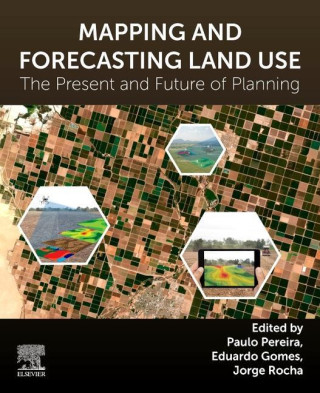
Mapping and Forecasting Land Use
Autor Paulo Pereira, Eduardo Gomes, Jorge Rocha
Mapping and Forecasting Land Use: The Present and Future of Planning is a comprehensive reference on the use of technologies to map land use, focusing on GIS and remote sensing applications and methodologies for land use monitorin ... celý popis
- Jazyk:
 Angličtina
 - Vazba: Brožovaná
- Počet stran: 344
Nakladatelství: Elsevier - Health Sciences Division, 2022
- Více informací o knize

4395 Kč

Skladem u dodavatele v malém množství
Odesíláme do 3 dnů
Potřebujete více kusů?Máte-li zájem o více kusů, prověřte, prosím, nejprve dostupnost titulu na naši zákaznické podpoře.
Přidat mezi přání
Mohlo by se vám také líbit
-

Free Movement of Persons within the European Community
6082 Kč -

Dare
538 Kč -
Building Microservices
1518 Kč
Darujte tuto knihu ještě dnes
- Objednejte knihu a zvolte Zaslat jako dárek.
- Obratem obdržíte darovací poukaz na knihu, který můžete ihned předat obdarovanému.
- Knihu zašleme na adresu obdarovaného, o nic se nestaráte.
Více informací o knize Mapping and Forecasting Land Use
Nákupem získáte 440 bodů
 Anotace knihy
Mapping and Forecasting Land Use: The Present and Future of Planning is a comprehensive reference on the use of technologies to map land use, focusing on GIS and remote sensing applications and methodologies for land use monitoring. The book addresses transversal topics such as urbanization, biodiversity loss, climate change, ecosystem services, and participatory planning, with pros and cons of a variety of aerial technologies in mapping and land use. The book has specifically been developed with a multidisciplinary approach in mind and provides opinions and evidence from leading researchers working in academic institutions across the globe. The second half of the book moves from theory and research advancement into case studies, compiling global examples to provide real-world context and evidence of the techniques and applications. Mapping and Forecasting Land Use: The Present and Future of Planning is a useful guide for graduates, academics and researchers in the fields of geography, geographic information science and land use science, who want to effectively apply GIS and remote sensing capabilities to mapping or wider land studies. Researchers in Geosciences, Environmental Science and Agriculture will also find this of value in utilizing 21st century technologies to their field. Provides a guide to land use mapping technologies including GIS and remote sensingCovers a wide field of interdisciplinary subjects related to GIS applications in land useApproaches the theory and current research in the first half of the book, then focuses on global case studies in the second half
 Parametry knihy
Zařazení knihy Knihy v angličtině Earth sciences, geography, environment, planning Earth sciences Geology & the lithosphere
4395 Kč
- Plný název: Mapping and Forecasting Land Use
- Podnázev: The Present and Future of Planning
- Autor: Paulo Pereira, Eduardo Gomes, Jorge Rocha
- Jazyk:
 Angličtina
 - Vazba: Brožovaná
- Počet stran: 344
- EAN: 9780323909471
- ID: 35382781
- Nakladatelství: Elsevier - Health Sciences Division
- Hmotnost: 576 g
- Rozměry: 153 × 228 × 22 mm
- Datum vydání: 22. August 2022
Oblíbené z jiného soudku
-

Reading the Rocks
383 Kč -
Nature and Properties of Soils, The, Global Edition
2295 Kč -

Past Time: Geology in European and American Art
1064 Kč -
S & S Guide to Rocks and Minerals
582 Kč -
Structural Geology
1688 Kč -

Sea without Fish
983 Kč -
Geological Field Techniques
1934 Kč -
Soil Science Simplified 6e
2720 Kč -
Lost World of Fossil Lake
1064 Kč -
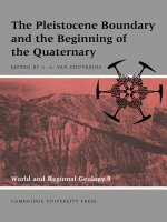
Pleistocene Boundary and the Beginning of the Quaternary
2413 Kč -
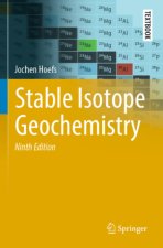
Stable Isotope Geochemistry
2720 Kč -
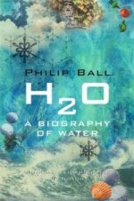
H2O
303 Kč -
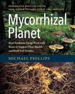
Mycorrhizal Planet
772 Kč -
Story of Earth
347 Kč -
Geology For Dummies
483 Kč -

True Truffle (Tuber spp.) in the World
7468 Kč -
Annals of the Former World
594 Kč -

Environmental Chemistry
3745 Kč -
Radon: A Tracer for Geological, Geophysical and Geochemical Studies
7468 Kč -
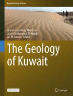
The Geology of Kuwait
1135 Kč -
Medical Geology
1973 Kč -
Anthropocene: A Very Short Introduction
254 Kč -

Ice Age
1967 Kč -
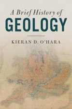
Brief History of Geology
1054 Kč -
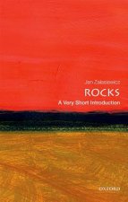
Rocks: A Very Short Introduction
269 Kč -
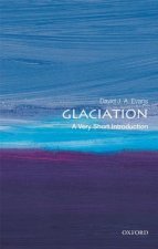
Glaciation: A Very Short Introduction
250 Kč -
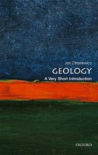
Geology: A Very Short Introduction
250 Kč -
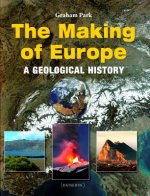
Making of Europe
1406 Kč -
Mineral Resources, Economics and the Environment
1948 Kč -
Timefulness
1013 Kč -

Historical Geology
2138 Kč -
Global Geomorphology
2170 Kč -
Principles of Geology, Volume 1
802 Kč -
Plate Tectonics: A Very Short Introduction
269 Kč -
Igneous and Metamorphic Petrology 2e
3610 Kč -
Landscapes and Geomorphology: A Very Short Introduction
269 Kč -

Ore Deposit Geology
2006 Kč -

Soil and Environmental Chemistry
3144 Kč -
Tectonic Geomorphology 2e
2976 Kč -
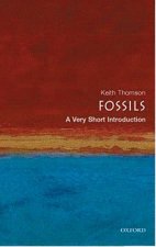
Fossils: A Very Short Introduction
269 Kč -
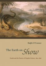
Earth on Show
1711 Kč -
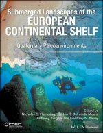
Quaternary Paleoenvironments - Submerged Landscapes of the European Continental Shelf.
3338 Kč -

Last Giant of Beringia
700 Kč -
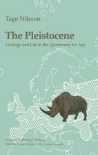
Pleistocene
6578 Kč -
Earth: An Introduction to Physical Geology, Global Edition
2354 Kč -
White River Badlands
1036 Kč -
Principles of Geology, Volume 2
1874 Kč -
Principles of Geology, Volume 3
1874 Kč -
Geomorphology
2646 Kč
Osobní odběr Praha, Brno a 12903 dalších
Copyright ©2008-24 nejlevnejsi-knihy.cz Všechna práva vyhrazenaSoukromíCookies


 Vrácení do měsíce
 571 999 099 (8-15.30h)