Kód: 01358711
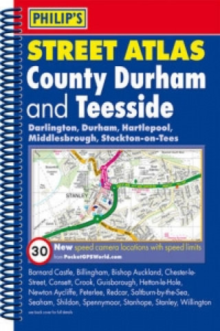
Philip's Street Atlas County Durham and Teesside
Autor Philips
Philip's Street Atlas County Durham and Teesside gives comprehensive and detailed coverage of the area. The route planner shows all the A and B roads, and can be used when driving to get close to the destination before turning to ... celý popis
- Jazyk:
 Angličtina
 - Vazba: Kroužková
- Počet stran: 280
Nakladatelství: Octopus Publishing Group, 2012
- Více informací o knize

397 Kč
Dostupnost:
50 % šance Máme informaci, že by titul mohl být dostupný. Na základě vaší objednávky se ho pokusíme do 6 týdnů zajistit.
Prohledáme celý svět
Mohlo by se vám také líbit
-

Physical Aspects of Stereotactic Radiosurgery
3313 Kč -

Organ Regeneration
1681 Kč -

Forerunner
219 Kč -

Materials for the History of Thomas Becket, Archbishop of Canterbury (Canonized by Pope Alexander III, AD 1173)
2211 Kč -

Ocean Oil and Gas Drilling and the Law
7550 Kč -

Mathematical Modelling in Biomedicine
1681 Kč -

New Trends in Superconductivity
3313 Kč -

Neighbors
1350 Kč -

Six Archetypes of Love
403 Kč -

-level Economics Year 1 (and AS) In a Week
488 Kč -

Otcova vina
202 Kč -

Foliotheque
710 Kč -

Klassik-Adaptionen in Popularer Musik als Gegenstand des Musikunterrichts
1879 Kč -

Mir passiert so etwas doch nicht
547 Kč
Dárkový poukaz: Radost zaručena
- Darujte poukaz v libovolné hodnotě a my se postaráme o zbytek.
- Poukaz se vztahuje na celou naši nabídku.
- Elektronický poukaz vytisknete z e-mailu a můžete ihned darovat.
- Platnost poukazu je 12 měsíců od data vystavení.
Informovat o naskladnění knihy
Zadejte do formuláře e-mailovou adresu a jakmile knihu naskladníme, zašleme vám o tom zprávu. Pohlídáme vše za vás.
Více informací o knize Philip's Street Atlas County Durham and Teesside
Nákupem získáte 40 bodů
 Anotace knihy
Philip's Street Atlas County Durham and Teesside gives comprehensive and detailed coverage of the area. The route planner shows all the A and B roads, and can be used when driving to get close to the destination before turning to the relevant large-scale street map.The street maps show every named road, street and lane very clearly, with major roads picked out in colour. The maps are at a scale of 1.75 inches to 1 mile, with larger scale maps at a scale of 3.5 inches to 1 mile. Durham, Stockton-on-Tees and Middlesbrough city centres are shown at 7 inches to 1 mile.Other information on the maps includes postcode boundaries, car parks, railway and bus stations, post offices, schools, colleges, hospitals, police and fire stations, places of worship, leisure centres, footpaths and bridleways, camping and caravan sites, golf courses, and many other places of interest. Also included in this edition are fixed single and multiple speed-camera locations, with corresponding speed limits.The comprehensive index lists street names and postcodes, plus schools, hospitals, railway stations, shopping centres and other such features picked out in red, with other places of interest shown in blue.
 Parametry knihy
Zařazení knihy Knihy v angličtině Lifestyle, sport & leisure Travel & holiday Travel maps & atlases
397 Kč
- Plný název: Philip's Street Atlas County Durham and Teesside
- Autor: Philips
- Jazyk:
 Angličtina
 - Vazba: Kroužková
- Počet stran: 280
- EAN: 9781849072458
- ISBN: 1849072450
- ID: 01358711
- Nakladatelství: Octopus Publishing Group
- Hmotnost: 532 g
- Rozměry: 268 × 193 × 14 mm
- Datum vydání: 01. October 2012
Oblíbené z jiného soudku
-
Österreich, Autoatlas 1:150.000, freytag & berndt
641 Kč -

Burgenland, Straßen- und Freizeitkarte 1:150.000, freytag & berndt
316 Kč -
Lonely Planet Scotland Planning Map
210 Kč -

Lonely Planet Africa Planning Map
143 Kč -
Azores, Special Places of Excursion Road Map 1:50 000
316 Kč -

Camino de Santiago: Camino Frances
489 Kč -
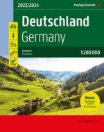
Deutschland, Autoatlas 1:200.000, 2024/2025, freytag & berndt
409 Kč -
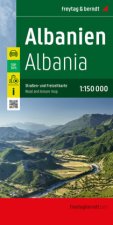
Albanien, Straßen- und Freizeitkarte 1:150.000, freytag & berndt
316 Kč -

Tokyo- Michelin City Map Laminated 9219
264 Kč -
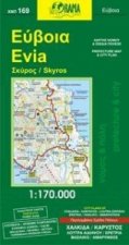
Evia
214 Kč -

Gibraltar
450 Kč -
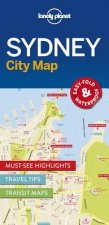
Lonely Planet Sydney City Map
175 Kč -

Lonely Planet Washington DC City Map
143 Kč -

Malt Whisky Map of Scotland
223 Kč -
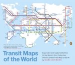
Transit Maps of the World
665 Kč -
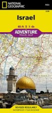
Israel
366 Kč -
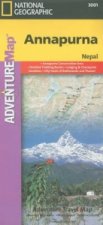
Annapurna, Nepal
453 Kč -
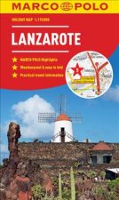
Lanzarote Marco Polo Holiday Map
170 Kč -

Uzbekistan
342 Kč -

New York - Michelin City Map 9204
254 Kč -
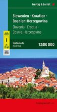
Slowenien - Kroatien - Bosnien-Herzegowina, Straßenkarte 1:500.000, freytag & berndt
316 Kč -

Neuer Straßenatlas Deutschland/Europa 2024/2025
171 Kč -

Ben Nevis and Fort William, the Mamores and the Grey Corries, Kinlochleven and Spean Bridge
357 Kč -
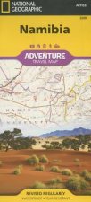
Namibia
366 Kč -

Cinque Terre - Portofino Hiking + Leisure Map 1:50 000
243 Kč -

Vienna City Atlas 1:12,500 scale
386 Kč -
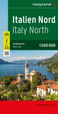
Italien Nord, Straßenkarte 1:500.000, freytag & berndt
316 Kč -
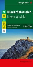
Niederösterreich, Straßen- und Freizeitkarte 1:150.000, freytag & berndt
316 Kč -
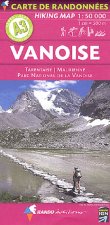
Carte de randonnées Alpes Vanoise. Hiking Map Alps Vanoise
374 Kč -

Loch Lomond North, Tyndrum, Crianlarich & Arrochar
357 Kč -

Glen Coe
357 Kč -

Ardnamurchan, Moidart, Sunart and Loch Shiel
357 Kč -
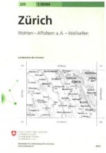
Zurich
532 Kč -

ADFC-Regionalkarte Bodensee, 1:50.000, reiß- und wetterfest, mit kostenlosem GPS-Download der Touren via BVA-website oder Karten-App
272 Kč -

Hong Kong & Macau Travel Map Sixth Edition
232 Kč -
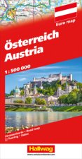
Österreich Strassenkarte 1:500 000
311 Kč -
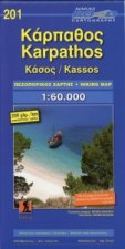
Karpathos Kasos
202 Kč -

Pocket Atlas of Remote Islands
596 Kč -
Morocco - Michelin National Map 742
333 Kč -
Lonely Planet Europe Planning Map
196 Kč -
Peru
453 Kč -
Lonely Planet London City Map
210 Kč -
Lonely Planet Tokyo City Map
179 Kč -
Lonely Planet South America Planning Map
143 Kč -

Vintage Maps Kalender 2024 - 30x30
141 Kč -

Mountaineering in the Swiss Alps
453 Kč -

Biker Atlas EUROPA 2024
401 Kč -
West Highland Way Map Booklet
301 Kč -
Tenerife Hikers Maps
303 Kč
Osobní odběr Praha, Brno a 12903 dalších
Copyright ©2008-24 nejlevnejsi-knihy.cz Všechna práva vyhrazenaSoukromíCookies


 Vrácení do měsíce
 571 999 099 (8-15.30h)