Kód: 06338846
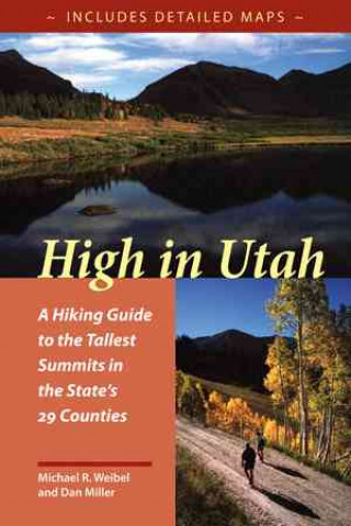
High In Utah
Autor Dan Miller
If you measured the highest point in each county, which of the fifty states would have the highest average elevation? You probably didn’t say Utah, but in fact the average elevation of the state’s county high points is approximate ... celý popis


- Jazyk:
 Angličtina
 - Vazba: Brožovaná
- Počet stran: 174
Nakladatelství: University of Utah Press,U.S., 1999
- Více informací o knize

439 Kč
Dostupnost:
50 % šance Máme informaci, že by titul mohl být dostupný. Na základě vaší objednávky se ho pokusíme do 6 týdnů zajistit.
Prohledáme celý svět
Mohlo by se vám také líbit
-

Moonwalk
270 Kč -

The Score
248 Kč -

The Deal
254 Kč -

The Mistake
254 Kč -

Berserk Deluxe Volume 1
779 Kč -

Jujutsu Kaisen, Vol. 30
240 Kč -

Berserk Deluxe Volume 2
837 Kč -

Dancing The Dream
517 Kč -

The Goal
261 Kč -

Berserk Deluxe Volume 3
779 Kč -

Murdoku
319 Kč -

Invincible Compendium Volume 2
1167 Kč -

Chainsaw Man, Vol. 21
199 Kč -

White Nights
83 Kč -

Lord of Mysteries, Vol. 3: The Clown, Part III
373 Kč -

Legacy
245 Kč -

Invincible Compendium Volume 3
1123 Kč -

Jujutsu Kaisen, Vol. 29
240 Kč -

JoJo's Bizarre Adventure: Part 7--Steel Ball Run, Vol. 7
427 Kč -

Witch Hat Atelier: Grimoire Edition 1
786 Kč -

Berserk Deluxe Volume 5
804 Kč
Dárkový poukaz: Radost zaručena
- Darujte poukaz v libovolné hodnotě a my se postaráme o zbytek.
- Poukaz se vztahuje na celou naši nabídku.
- Elektronický poukaz vytisknete z e-mailu a můžete ihned darovat.
- Platnost poukazu je 12 měsíců od data vystavení.
Informovat o naskladnění knihy
Zadejte do formuláře e-mailovou adresu a jakmile knihu naskladníme, zašleme vám o tom zprávu. Pohlídáme vše za vás.
Více informací o knize High In Utah
Nákupem získáte 44 bodů
 Anotace knihy
If you measured the highest point in each county, which of the fifty states would have the highest average elevation? You probably didn’t say Utah, but in fact the average elevation of the state’s county high points is approximately 11,222 feet (Colorado is second at 10,971 feet). Most but not all of Utah’s high peaks grow out of a series of mountain ranges that form a backbone from north to south through the middle of the state. Surprisingly, most can also be climbed in a day, and during the warm months climbing gear may be unnecessary. Some summits are even attainable by car. High in Utah is quite consciously a book for peak baggers, complete with a checklist and elevations. Summits range from Kings Peak, Utah’s highest at 13,528’ to the unnamed peak in Rich County, a mere 9,255’. In addition to the county high points, this book also has four “classic” climbs: Mt. Olympus in Salt Lake County; Mt. Timpanogos above Provo; Notch Peak in the House Range west of Delta; and Wellsville Cone, Cache Valley’s western landmark. Since finding a place to start can often be the most frustrating part of a hike, emphasis is placed on directions to each trailhead. There is a road map for each hike, as well as a trail map showing contours. The routes in this guide are not always the easiest or most practical, but they may be the most appealing and are often the most commonly used (lessening human impact on other potential routes). Difficulty levels range from 'extreme'—long, steep routes that may require some route finding—to 'too easy'—reachable by car. Two sets of hiking times are provided to accommodate variations in hiking speed, and there are also sections on flora and fauna, mountain weather, low-impact hiking and camping, equipment, and altitude sickness. "Alaska is our biggest, buggiest, boggiest state. Texas remains our largest unfrozen state. But mountainous Utah, if ironed out flat, would take up more space on a map than either."—Edward Abbey, 1927–1989
Parametry knihy
Zařazení knihy Knihy v angličtině Lifestyle, sport & leisure Travel & holiday
439 Kč
- Plný název: High In Utah
- Autor: Dan Miller
- Jazyk: Angličtina
- Vazba: Brožovaná
- Počet stran: 174
- EAN: 9780874805888
- ISBN: 9780874805888
- ID: 06338846
- Nakladatelství: University of Utah Press,U.S.
- Hmotnost: 299 g
- Rozměry: 229 × 152 × 15 mm
- Datum vydání: 27. January 1999
Osobní odběr Praha, Brno a 46747 dalších
Copyright ©2008-26 nejlevnejsi-knihy.cz Všechna práva vyhrazenaSoukromíCookies

 Vrácení do měsíce
 571 999 099 (8-15.30h)